Making remote sensing and mapping products more accessible
Food

Making remote sensing and mapping products more accessible

FAO and Google Maps have entered into a three-year partnership to make remote sensing and mapping products more accessible.

The partnership between Google Maps and FAO is designed to foster innovation and expertise, and broaden access to easy-to-use digital tools. The collaboration will boost the visibility and implementation of efforts to encourage sustainable environmental practices around the world.

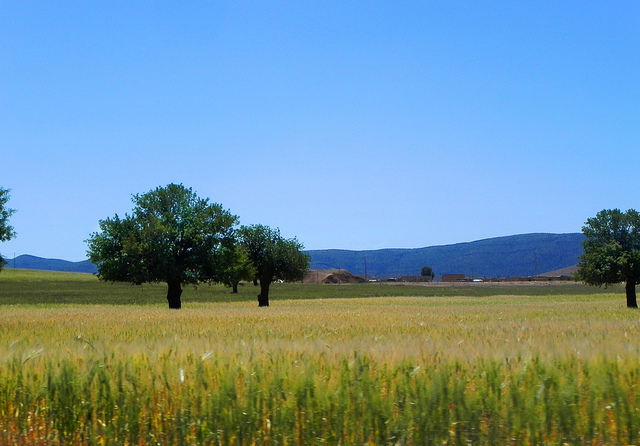
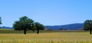
[Full article here | Photo by Soufiane M - Flickr]
Making remote sensing and mapping products more accessible

Good practices and European projects map

@AgoraMedSpring

Good practices and European projects map

About the author

Medspring Agora team's picture

The Euro-Mediterranean AGORA is a way to engage the civil society in the institutional and policy dialogue on research and innovation with the aim of becoming an integral part of the decision making and governance processes.

The Agora is an important component of the broader MEDSPRING project, supported by the European Union with the aim of strengthening the Euro-Mediterranean dialogue and cooperation on research and innovation.